


17 km | 31 km-effort


User


FREE GPS app for hiking
 SityTrail
IGN / Geographical institutes
SityTrail World
The world is yours!
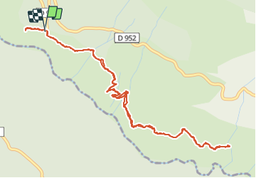
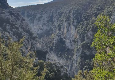
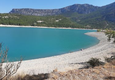
Trail Walking of 7.2 km to be discovered at Provence-Alpes-Côte d'Azur, Alpes-de-Haute-Provence, La Palud-sur-Verdon. This trail is proposed by fhascoet.
Belle promenade facile en balcon au dessus du Verdon, exposée plein sud.
Les passages un peu aériens sont équipés d'une rampe métallique.
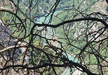
 - Photo 1")
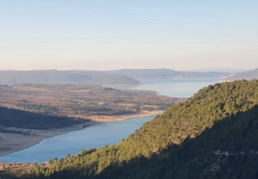
 - Photo 2")
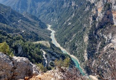
 - Photo 3")
 - Photo 4")
Walking
Walking

Walking
Walking
Walking

Walking
Walking
Walking
Walking